Methodology
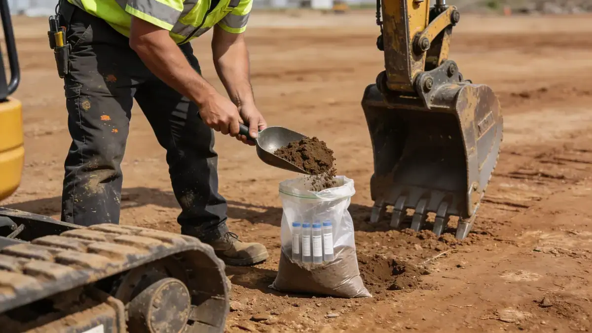
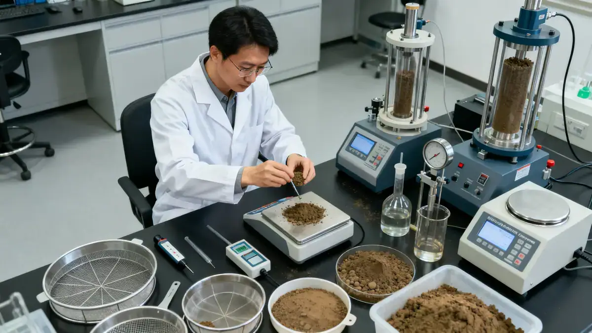
Our methodology for soil mechanics laboratory in Warrington follows a phased approach, beginning with a desk study of geological maps and historical records to identify potential hazards such as compressible soils or high groundwater. We then conduct field investigations using techniques like window sampling and dynamic probing to characterise the ground. All samples are analysed in our laboratory, where we perform classification tests including moisture content, Atterberg limits, and particle size distribution in accordance with BS 1377. Our team integrates these results into a geotechnical model that informs foundation design, ensuring compliance with local regulations and project-specific requirements. For more on our core capabilities, visit our soil mechanics laboratory services.
Reference Technical Parameters
| Parameter | Reference Value |
|---|---|
| Predominant soil type | Glacial till (boulder clay) with lenses of sand and gravel |
| Maximum seismic acceleration (PGA) | 0.05g to 0.10g (low seismicity per UK National Annex to Eurocode 8) |
| Typical groundwater level | 1.5 to 4.0 m below ground surface, variable seasonally |
| Bedrock depth | 10 to 30 m (Sherwood Sandstone or Mercia Mudstone) |
| Typical N60 range (SPT in till) | 15 to 40 blows/300mm, increasing with depth |
Local Considerations — Warrington
Warrington’s geology is dominated by glacial till, but local variations exist. In the town centre and along the River Mersey, alluvial deposits of soft clay and peat require careful settlement analysis. To the north, in areas like Birchwood, the till becomes more granular, offering better bearing capacity. The water table is typically high near the river, necessitating dewatering or waterproofing designs. Our team has extensive experience in these conditions, and we coordinate with our granulometry & Atterberg services to provide precise soil classification. For projects requiring broader regional context, we also refer to our soil mechanics laboratory en Manchester for comparative studies.
Request a Quote
Our team reviews your project and issues an initial report at no cost.
Or write us directly at [email protected]
Services in Warrington
Applicable Standards
- BS 5930:2015 Code of practice for ground investigations
- BS 1377:1990 Methods of test for soils for civil engineering purposes
- Eurocode 7: Geotechnical design (BS EN 1997)
- ASTM D1586 Standard test method for SPT
Frequently Asked Questions
What types of soil are commonly found in Warrington?
Warrington’s subsurface is predominantly glacial till (boulder clay), with local deposits of alluvial silt, clay, and peat along the River Mersey. Sandy and gravelly lenses are also encountered, particularly in the northern parts of the town.
Is seismic design required for structures in Warrington?
According to the UK National Annex to Eurocode 8, Warrington falls in a low seismicity zone (PGA up to 0.10g). For most standard buildings, seismic checks are not mandatory, but critical infrastructure or special structures may require assessment.
Are soil investigations mandatory for new construction in Warrington?
While not a statutory requirement for all projects, local planning authorities often require a geotechnical report for developments on brownfield sites or in areas with known ground instability. Best practice recommends a site investigation for any significant structure.