Methodology
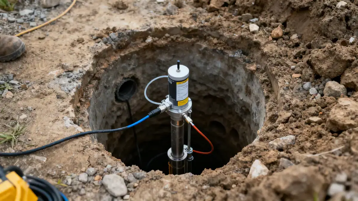
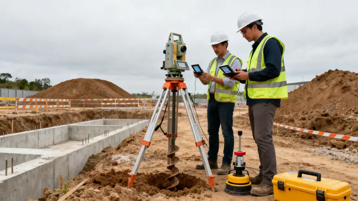
Our methodology in Sunderland follows a phased approach aligned with BS 5930 and Eurocode 7. We begin with a desk study to review historical maps and geological records, particularly for former mining and industrial zones. Fieldwork includes trial pits and boreholes with SPT testing per ASTM D1586, with sampling intervals typically every 1.0–1.5 m. Laboratory testing covers granulometry, Atterberg limits, and strength parameters. Our team integrates all data into a ground model that informs foundation recommendations. For more on our approach, visit our soil mechanics laboratory page.
Reference Technical Parameters
| Parameter | Reference Value |
|---|---|
| Predominant soil type | Glacial till (boulder clay) overlying Permian magnesian limestone |
| Maximum seismic acceleration (PGA) | 0.05g–0.10g (low seismicity per UK National Annex to Eurocode 8) |
| Typical groundwater level | 2–5 m below ground level, variable with season and tidal influence |
| Bedrock depth | 10–30 m in most areas; shallower in western suburbs |
| Typical N60 range (SPT) | 10–30 blows/300 mm in till; 30–50+ in limestone |
Local Considerations — Sunderland
Sunderland's ground conditions are dominated by glacial till, with variable thickness and occasional sand lenses. The city's mining legacy means made ground and shallow workings are common, particularly in the East End and along the River Wear. In contrast, western areas like Doxford Park have deeper till over limestone. Groundwater levels are influenced by tidal cycles near the coast. Our team has extensive experience in these conditions, often recommending deep foundations or ground improvement in former industrial sites. For reference, our granulometry & atterberg testing helps classify these variable soils accurately.
Request a Quote
Our team reviews your project and issues an initial report at no cost.
Or write us directly at [email protected]
Services in Sunderland
Applicable Standards
- BS 5930:2015 Code of practice for ground investigations
- Eurocode 7 (BS EN 1997-1 and 1997-2)
- ASTM D1586 Standard Test Method for Standard Penetration Test (SPT)
- UK National Annex to Eurocode 8 (BS EN 1998-1:2004)
- CIEH/LQM Generic Assessment Criteria for contaminated land
Frequently Asked Questions
What soil types are typically found in Sunderland?
Sunderland's subsurface is dominated by glacial till (boulder clay), with local deposits of alluvium along the River Wear and made ground in former industrial areas. Bedrock is mainly Permian magnesian limestone, typically found at depths of 10–30 m.
Is seismic assessment required for buildings in Sunderland?
Seismic assessment is generally not critical in Sunderland due to low seismicity (PGA 0.05g–0.10g per UK National Annex to Eurocode 8). However, for critical infrastructure or tall structures, a site-specific seismic hazard analysis may be prudent.
Are soil investigations mandatory for construction projects in Sunderland?
While not always legally mandatory, soil investigations are strongly recommended under Eurocode 7 and UK building regulations. For most developments, a ground investigation report is required by local authority building control to ensure safe foundation design.