Methodology

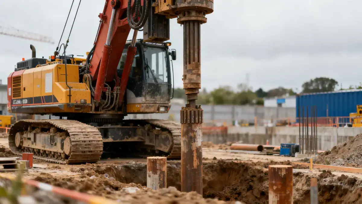
Our methodology for soil mechanics laboratory work in Newcastle follows established standards such as BS 5930 and Eurocode 7. We begin with a desk study of geological maps and historical records, followed by a site reconnaissance to plan our investigation. Our team employs dynamic sampling (SPT) per ASTM D1586 to assess soil strength, typically at 1.5 m intervals to depths of 10–15 m for residential projects. We also conduct continuous sampling using windowless sampling techniques where appropriate. All samples are transported to our accredited laboratory for classification, compaction, and strength testing. For a detailed overview of our testing capabilities, visit our soil mechanics laboratory page.
Reference Technical Parameters
| Parameter | Reference Value |
|---|---|
| Predominant soil type | Glacial till (boulder clay) with lenses of sand and gravel |
| Maximum seismic acceleration (PGA) | 0.15 g (based on UK seismic hazard maps, BS EN 1998-1) |
| Typical groundwater level | 2–5 m below ground surface, varies seasonally |
| Bedrock depth | 10–30 m (sandstone and mudstone sequences) |
| Typical N60 range (SPT) | 15–35 blows/300 mm in till; 5–15 in soft zones |
Local Considerations — Newcastle
Newcastle's geology is dominated by glacial till overlying Carboniferous sandstone and mudstone. The till can contain cobbles and boulders, complicating drilling and sampling. Groundwater is often encountered within granular lenses at depths of 2–5 m, requiring careful dewatering for excavations. Seismic design is governed by BS EN 1998-1, with a peak ground acceleration of 0.15 g for the region. In contrast to the more uniform soils in Leeds, Newcastle's variable till demands a higher density of boreholes. For foundation projects, we often reference our granulometry & atterberg testing to classify soils and assess plasticity. Our experience includes work on the Newcastle Helix development and coastal infrastructure, where we have addressed challenges related to fill materials and high groundwater.
Request a Quote
Our team reviews your project and issues an initial report at no cost.
Or write us directly at [email protected]
Services in Newcastle
Applicable Standards
- BS 5930:2015 (Code of practice for site investigations)
- Eurocode 7 (BS EN 1997-1 and 1997-2)
- ASTM D1586 (Standard Test Method for Standard Penetration Test)
- BS EN 1998-1 (Design of structures for earthquake resistance)
- BS 1377 (Methods of test for soils for civil engineering purposes)
Frequently Asked Questions
What types of soil are commonly found in Newcastle?
Newcastle's typical soil profile consists of glacial till (boulder clay) with varying proportions of sand, gravel, and occasional cobbles. Underlying this are sedimentary bedrock layers of sandstone and mudstone from the Carboniferous period.
Is seismic design required for buildings in Newcastle?
Yes, according to BS EN 1998-1, the UK is divided into seismic zones. Newcastle falls within a low to moderate seismicity area with a peak ground acceleration of 0.15 g. Therefore, certain structures must consider seismic actions in their design.
Are geotechnical investigations mandatory for new developments in Newcastle?
While not always statutory, most local planning authorities require a ground investigation report as part of the planning application, especially for larger or more complex projects. It is also a requirement under CDM Regulations to ensure safe design and construction.